Handheld Laser Scanning Projects Presented with NUBIGON
Handheld laser scanners provide a versatile and efficient solution for quickly capturing 3D data, even in challenging environments. NUBIGON takes SLAM-based point clouds to the next level with optimized visualization tools, offering clear insights and effective presentation capabilities.
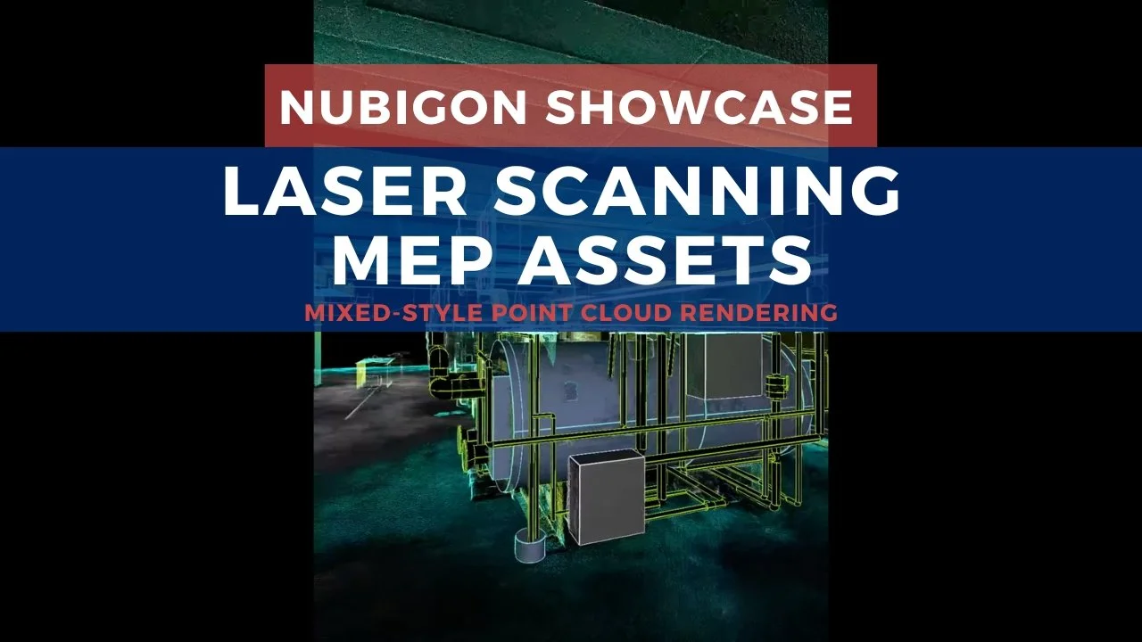
Capturing MEP Assets
These MEP assets were captured using the NavVis MLX handheld scanner, a compact tool ideal for confined spaces and frequent site scans. DMCS quickly modeled one of the assets, rendering both the point cloud and model in our software. NUBIGON’s visualization showcases exceptional data quality and modeling precision, making the results easier to interpret and present to clients.
Scanning Complex Environments
Twindl used handheld laser scanners to capture the National Coal Mining Museum in the UK. The point clouds were then opened in NUBIGON, creating a comprehensive 3D representation of its underground tunnels and exhibits. See how our signature visualization solutions present complex sites and enhance spatial understanding.

National Mining Museum, UK - Twindl
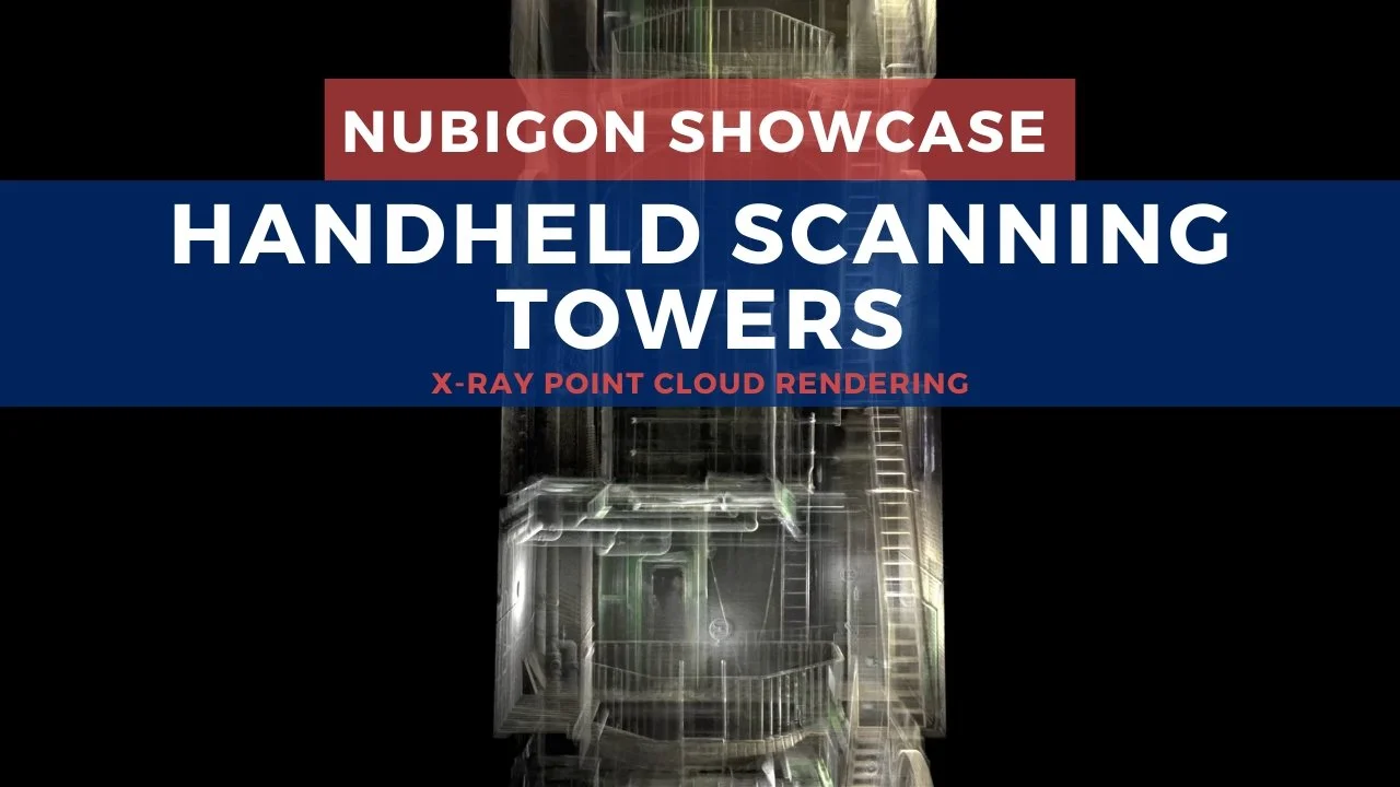
Rendering Point Clouds from Multiple Sensors
In another project, Twindl used long-range terrestrial laser scanners for high-resolution captures of larger spaces and exterior facades, while handheld scanners were employed for the tower's narrow interior. The point clouds from both methods were rendered in NUBIGON with suitable display modes. Watch the video below to see how NUBIGON unifies data from multiple sources, delivering a cohesive and detailed view of the entire site.