Mobile Mapping Projects Presented with NUBIGON
Mobile laser scanners, with their flexible mounting options, are perfect for quickly and accurately capturing extensive environments like roads, railways, and large infrastructure projects. NUBIGON enhances point clouds from these devices with advanced visualization and animation tools, providing insightful and visually compelling results.
Capturing an Elevated Road & Bridge
Viametris used a car-mounted mobile mapping system to capture an elevated road and bridge in Bangkok and produced a detailed 3D representation of the site with NUBIGON. Our rendering solutions effectively visualize the point cloud, making the scanned infrastructure accessible to all, regardless of technical expertise. Take a look!

RAMA VIII Bridge, Bangkok, Thailand - Viametris
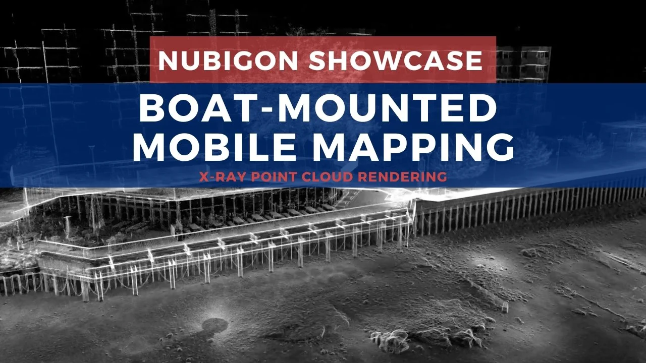
Rendering for Any Mobile Mapping Setup
Coprtz used a boat-mounted mobile mapping system to capture the Blackfriars riverside and bridge, generating a detailed 3D point cloud. NUBIGON's advanced rendering solutions transformed this data into a compelling visualization, making the scanned sites easy to explore and understand.