Photogrammetry Projects Presented with NUBIGON
Photogrammetry is a powerful technique for creating photorealistic 3D models from high-resolution images. With NUBIGON, you can seamlessly render photogrammetry models and point clouds alongside point clouds from laser scanners, CAD, and BIM models. Our signature render modes deliver compelling visualizations for all your assets.
Rendering Drone Photogrammetry Data
Drone photogrammetry captures high-resolution aerial images to create precise 3D models essential for surveying, construction, and environmental monitoring. NUBIGON efficiently renders these results, providing seamless visualization of complex point clouds and meshes. These capabilities allow professionals like Geodime to explore and analyze 3D models with exceptional clarity, making NUBIGON invaluable for accurate spatial data visualization.

Quarry, UK - Geodime Ltd.
Drone Captures for Urban Planning
In urban planning, combining drone photogrammetry data with design models effectively contextualizes new projects like in this project by DCMS. Rendering drone data together with models in NUBIGON offers stakeholders, funders, approval agencies, and the public a clear, immersive understanding of how future developments will integrate with existing environments.
Surquillo District, Peru - DCMS Network
One Site Multiple Capture Methods
Comprehensive site documentation can require multiple capture methods. For this fortification, leap3d used photogrammetry to capture the exterior, and a terrestrial laser scanner documented the interior. NUBIGON seamlessly integrates both data types in the same scene for a unified presentation. Check out this point cloud video to explore the site's intricate details and overall structure.
Keizersbolwerk, Netherlands - leap3d
Switching Between Point Cloud & Mesh
Photogrammetric captures are often enhanced with laser scanning data to improve accuracy. NUBIGON effectively renders the resulting point clouds and models, providing a comprehensive view of the structure. Users can effortlessly switch between photorealistic and x-ray displays to present the finest architectural details.
Historic Church, Poland - SCAN3D
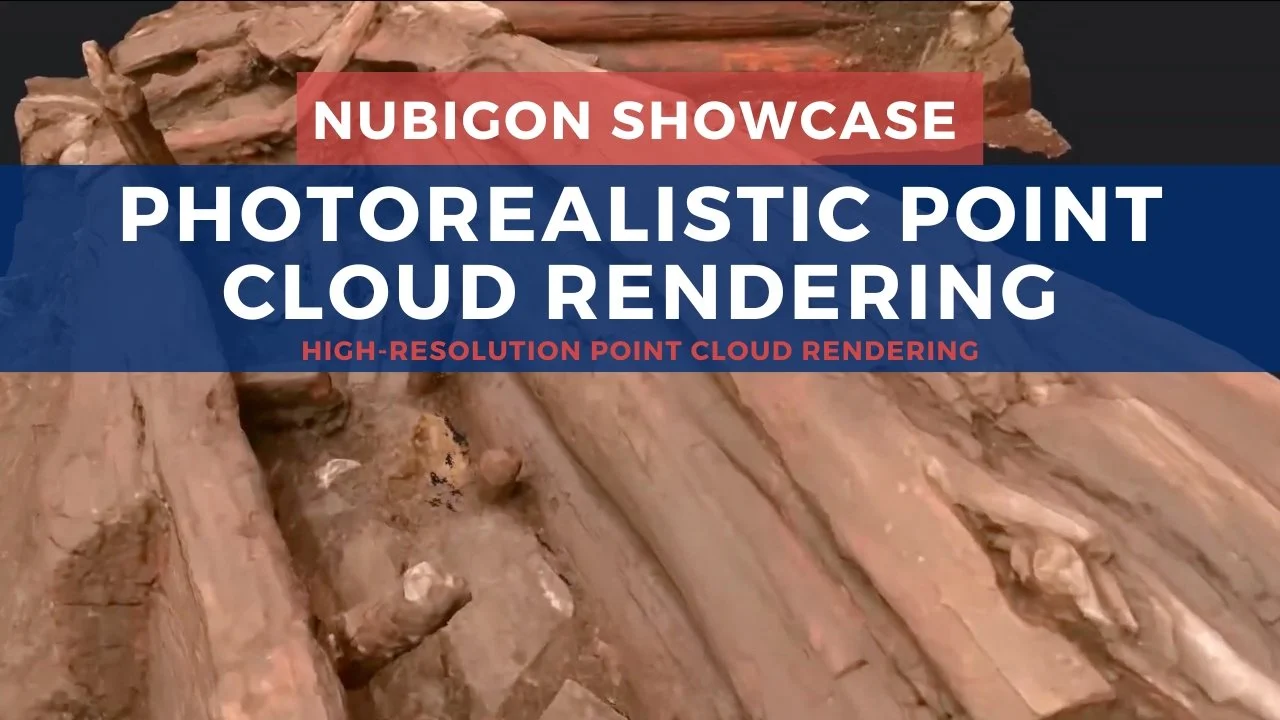
Photorealistic Point Cloud Rendering
Combining laser scanning and photogrammetry produces detailed and accurate 3D data. NUBIGON's native point cloud rendering visualizes these dense datasets with maximum granularity and photorealism, allowing for precise and lifelike representations of complex structures.