Environmental & Forestry Projects Presented with NUBIGON
Empower environmental and forestry studies with LiDAR scanning and NUBIGON’s advanced visualization solutions. Create insightful presentations of multi-source classified point clouds to drive informed conservation, land management, and policy development decisions.
Environmental & Coastal Studies
Monitor and analyze environmental conditions with precise LiDAR scanning data rendered in NUBIGON. Seamlessly display point clouds captured with various techniques, including hydrographic scans, to support comprehensive research, conservation efforts, and policy development.
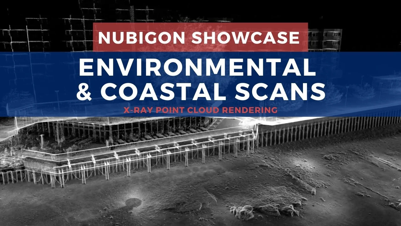
Blackfriars Riverside and Bridge, London, UK - Coptrz
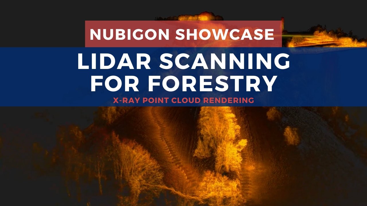
Forestry & Agriculture
Enhance land management and agricultural planning with laser-scanned point clouds visualized with NUBIGON’s powerful tools. Animate classified point clouds to provide foresters, agronomists, and landowners with deeper insights and more effective decision-making.