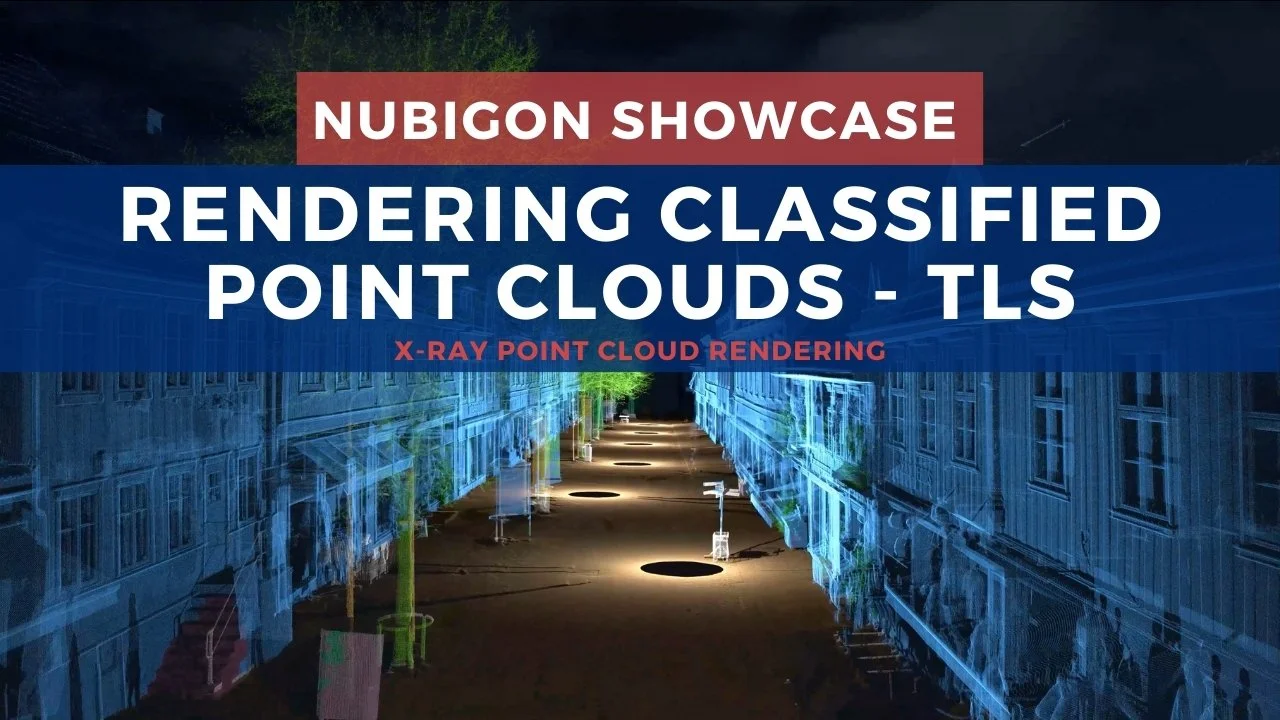
Rendering Classified Point Clouds with NUBIGON
Classified point clouds provide a powerful way to visualize and differentiate between various site features. NUBIGON’s rendering of classified data enhances site understanding, simplifies the interpretation of complex environments, and showcases the precision of the classification process.
Classified Aerial LiDAR Point Clouds
After capturing this historic Eastern European city, 3Di produced a classified point cloud and rendered it in NUBIGON. The video features an animation of each point class, helping the viewer easily distinguish between classes and appreciate the results of the classification process.

Aerial LiDAR Survey - 3Di
Classified Point Clouds of Buildings
Classifying building assets holds great potential for the future of urban and structural analysis. NUBIGON provides the tools to render and present these classified point clouds effectively, helping users distinguish key structural elements and paving the way for more refined classification in the built environment.