First Look: NavVis MLX Point Clouds & Models in NUBIGON
With the rise of digital twins, having the right reality capture tools is becoming essential for surveyors, engineers, architects, and construction professionals. In this post, we look at the newly announced NavVis MLX handheld scanner and its point clouds in NUBIGON.
What’s New with the NavVis MLX?
The MLX is the new handheld laser scanner of NavVis, designed for faster and more efficient reality capture. It features advanced SLAM technology for improved accuracy in complex environments and a lightweight design for easy field use. Quick captures of high-quality point clouds make it ideal for laser scanning, scan-to-BIM, and as-built modeling projects.
DCMS Takes a First Look
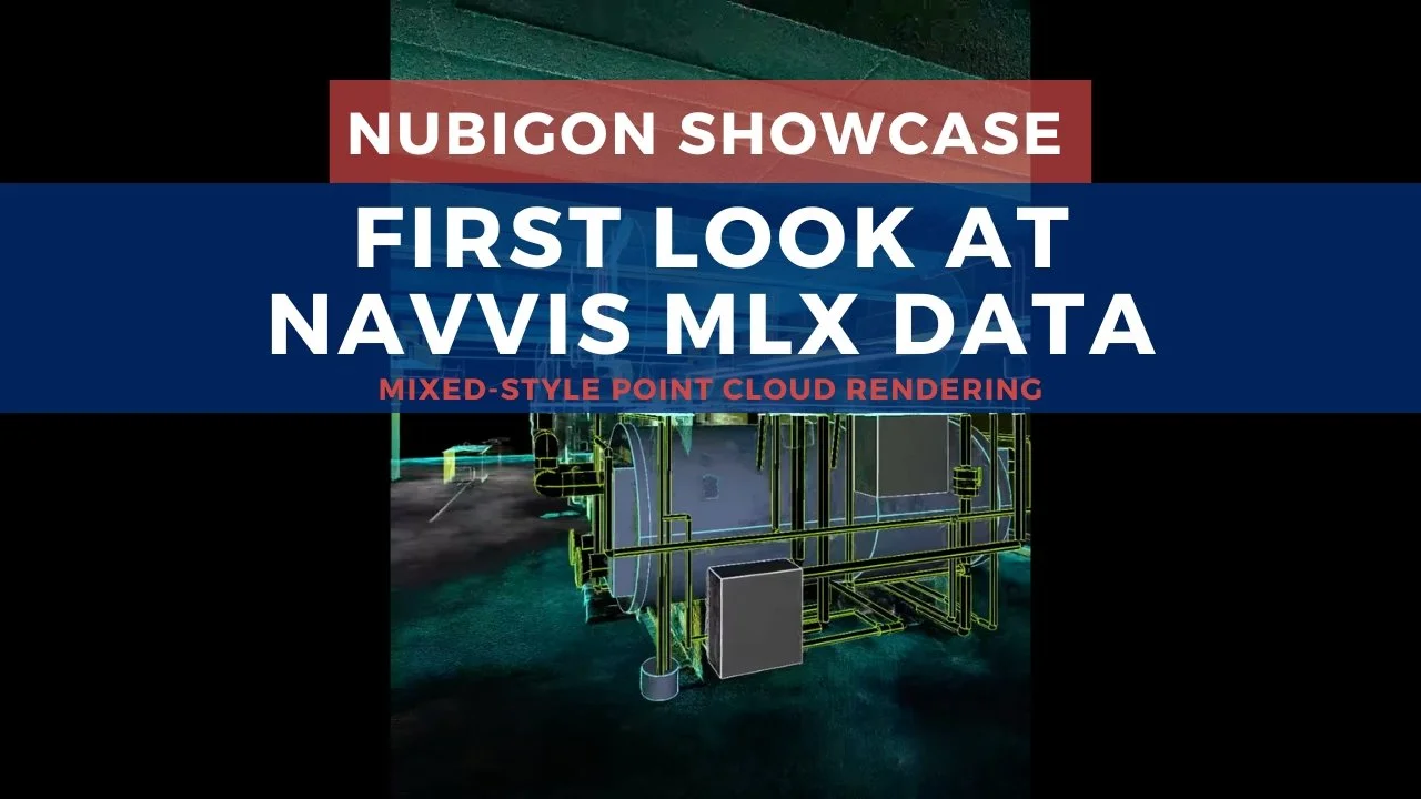
DCMS recently processed sample MLX data through the scan-to-BIM workflow, rendering the results in NUBIGON. The video below demonstrates how MLX point clouds look using surface and X-ray displays, with clip animations making it easy to examine specific project parts and revealing both internal and external structures.