FARO Laser Scanning Projects Presented with NUBIGON
FARO’s product line includes the popular Focus terrestrial laser scanner and the versatile Orbis handheld scanner. Utilizing NUBIGON, you can maximize the potential of point clouds captured with these devices. Visualize, explore, and animate your data to promote your projects effectively. Discover how NUBIGON transforms FARO scanning projects!
Boosting Mining Safety & Efficiency
Handheld laser scanners are ideal for capturing mines in 3D. NUBIGON’s specialized point cloud render modes allow stakeholders to explore complex mine environments more effectively. With enhanced spatial understanding, decision-makers can improve the safety and efficiency of mining operations.
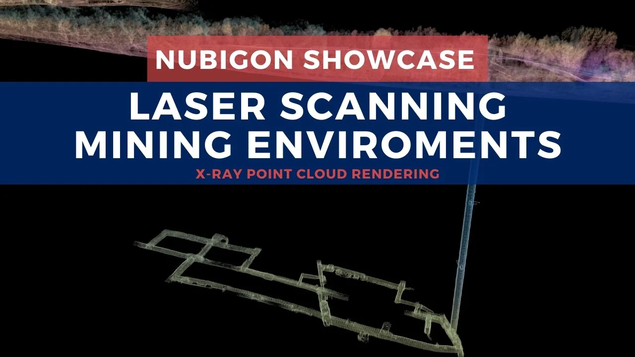
National Coal Mining Museum, UK - Twindl
Promoting Historic Site Restorations
Laser scanning is exceedingly essential for restoration projects. This NUBIGON point cloud video showcases the results of laser scanning and modeling for a monastery restoration. Videos like these significantly improve communication with owners, operators, and government agencies, helping secure project funding and approvals.

Franciscan Monastery in Deva, Romania - ArenaCAD
Virtually Accessing the Inaccessible
Scanning hard-to-access sites like steam tunnels can dramatically improve maintenance and safety planning. As exemplified in this video, our rendering solutions present multi-layered sites intuitively, informing engineering and maintenance teams, reducing site visits, and improving decision-making.

Steam Tunnels, UK - ARUP
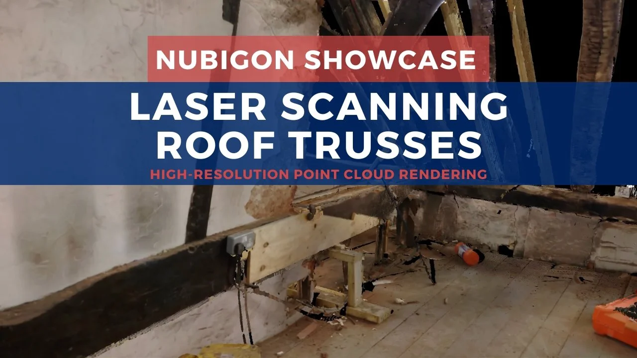
Granular Documentation of Complex Sites
Laser scanning complex spaces like roof trusses provide precise 3D data for structural analysis and restoration planning. Rendering the resulting point clouds in NUBIGON allows viewers to explore the structure in detail, improving stakeholder involvement and restoration outcomes.