
Surveying & Mapping Projects Presented with NUBIGON
Laser scanning revolutionizes surveying and mapping, transforming everything from building and land surveys to infrastructure and utilities. NUBIGON's advanced point cloud solutions empower professionals to communicate laser-scanning insights to clients and prospects effectively.
Laser Scanning
Unlock the full potential of laser scanning with NUBIGON’s point cloud visualization and rendering solutions. Transform complex point cloud data, like this historic aqueduct scan, into clear and compelling visuals that captivate and inform.
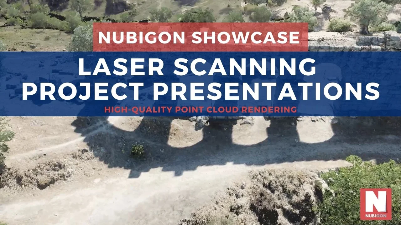
Hellenistic Aqueduct, Turkey - Hasan Bora Yavuz
Building Surveying
Precise building surveys using laser scanning enhance construction and maintenance. NUBIGON brings project deliverables to life with tailored rendering solutions for architects, engineers, and project managers.

Building Survey, Estonia - 3Di
Land Surveying
Achieve precise land measurements with laser scanning, and use NUBIGON to present all project deliverables in a single scene, effectively communicating insights to surveyors, developers, and planners.
